Silver Challenge Walk 8 :
Cronkley Fell
Cronkley Fell
Save the file to your device and then rename it by taking out the .txt at its end. Your device will now open it as a gpx file
|
Distance - 6.9
Map : OS Explorer OL31 Parking : Hanging Shaw Car Park (867298) | |||||||
LANDRANGER 92 O/S Crown copyright 2016 CS-30288-W3Z2M1

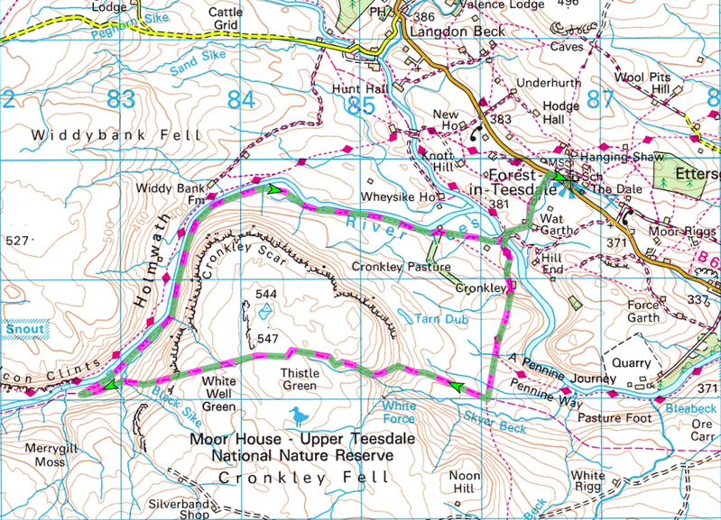
From Hanging Shaw car park walk down to the main Middleton to Alston road. Turn right along the road for a few yards and then cross over and follow the footpath sign down the drive to Birk Rigg. Before reaching the farm a clear footpath sign leads you around the right of the buildings and straight down the field to a stile. Crossing a mashy section the path rises to follow to the right of a stream, past some barns and a few yards later arrives at a gate on the right. Passing through the gate the path continues across the field to another gate and then left down a steep slope to a farm bridge over the RiverTees.
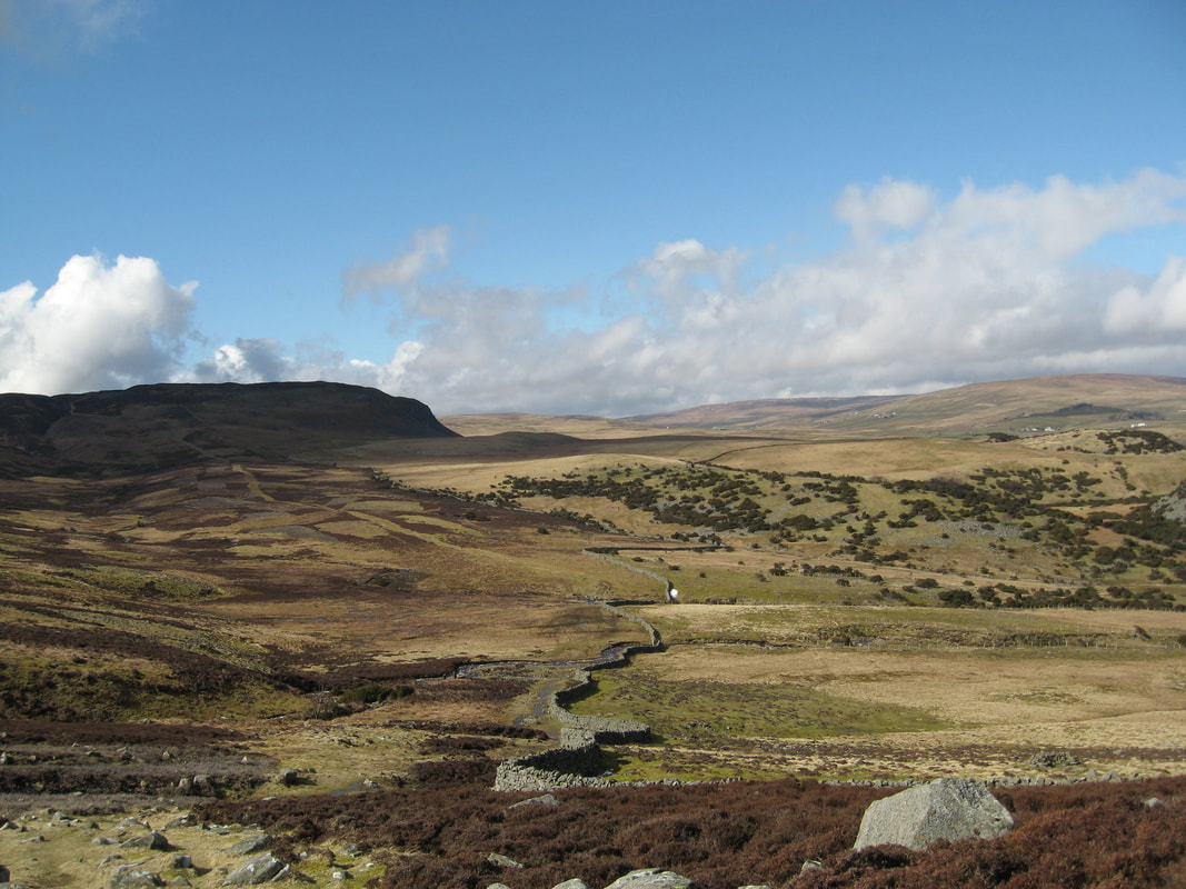
Cross the bridge and follow the track up the slope towards Cronkley Farm, but instead of entering the yard, go right over a stile and down the side of the wall to reach a stile at the bottom of High Crag. The path slants up a steep slope through the rocks and gorse to a hidden stile. From here follow the side of the wall up to a good viewpoint before descending and crossing a stream and a stile. A little way ahead you climb to a guidepost on the crest of the hill. The Pennine Way goes straight on, whilst our path turns right down to a gate in the corner of the pasture. Ahead is Noon Hill and by now the old green track along the valley below is clearly visible. Continue through the gate to stepping stones beyond and on to join the green track at a Nature Reserve sign and turn right. This is an old drovers’ way that was used to drive cattle from Alston to Thisk and the Vale of York. It will lead you up the moor to Cronkley Fell. It is quite a steep climb, but one eased by the views of White Force tumbling down the hillside to your left and of the drove road going on towards Holwick behind you.
The path eventually reaches open moorland. Continue in the same direction, passing three fenced areas and a number of cairns. Inside these fences sugar limestone ecosystems are being protected from the attention of sheep and rabbits to give them the chance to recover. Look out for the world famous Teesdale Spring Gentian. Its blue spikes appear between April and June. There are more distant views as well. Looking in the distance from south west to north west a range of 2000 feet summits is seen (Mickle Fell, Backstone Edge, Meldon Hill, Great dun Fell, Little Dun Fell, Cross Fell, Round Hill and Herdship Fell). The trig point a few yards to your right on Cronkley Fell is a mere 544 metres.
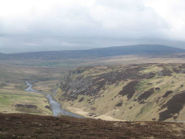
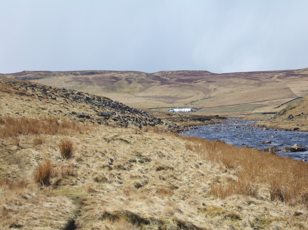
Cross the plateau of Thistle Green and as you drop down into a basin the first view of Falcon Clints ahead comes into view. Passing here the third fenced area of sugar limestone more frequent cairns appear. The largest, on the edge of the plateau, marks the start of the descent back to the Tees Valley. With Widdybank Fell in front of you and Cronkley Scar to your right, work your way down towards an island in the Tees. You reach the bottom of the slope close to a wall and from here a faint path angles off towards the river but slightly to your right. When you reach the river bank follow it downstream. Quickly the path becomes trapped between the river and Cronkley Scar. For about half a mile you follow this path, through heather, juniper bushes and scree, tight in on the river. Often the route is aided by duckboards in an attempt to conserve the path. Opposite Widdybank Farm (Natural England’s office for the Upper Teesdale National Nature Reserve) the route begins to open up again. The path continues to follow the river for roughly a mile and a half. Finally at a barn look for a gate to the right and, going through it, take the track across the pasture, sticking well to the left of farm buildings, to reach the track to Cronkley Farm by a bridge over the Tees.


