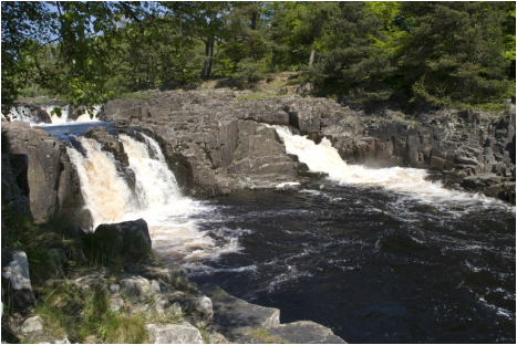
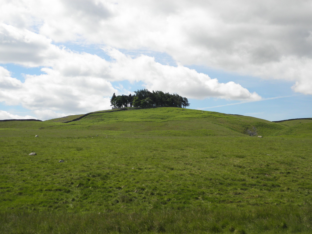
Walk 1- Coldberry and Low Force
Distance - 10.5 miles
Difficulty - More Challenging / 3
Summary - a walk combining a view of the historic lead mining heritage of Teesdale, with rugged moorland and finally a beautiful return journey alongside the Tees, passing the attractive Low Force.
Distance - 10.5 miles
Difficulty - More Challenging / 3
Summary - a walk combining a view of the historic lead mining heritage of Teesdale, with rugged moorland and finally a beautiful return journey alongside the Tees, passing the attractive Low Force.

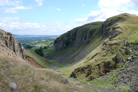
Walk 2- Crossthwaite Common
Distance - 9.8 miles
Difficulty - Hard / 4
Summary - A walk combining the rugged moorland of Harter Fell and Crossthwaite Common with the beauty of Holwick Scars and the pastures alongside the River Tees.
Distance - 9.8 miles
Difficulty - Hard / 4
Summary - A walk combining the rugged moorland of Harter Fell and Crossthwaite Common with the beauty of Holwick Scars and the pastures alongside the River Tees.

|
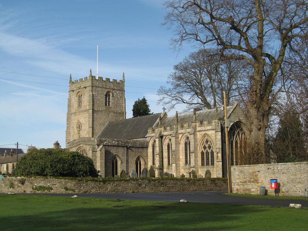
Walk 3 - Eggleston, Egglesburn and Romaldkirk
Distance - 9.4 miles Difficulty - More challenging / 3 Summary - The walk follows the renowned Teesdale Way along the riverside and on to the attractive and peaceful villages of Eggleston and Romaldkirk before returning to Middleton on the old railway line with its excellent views of the dale. 
|
|
Walk 4 - Grassholme Reservoir
Distance - 7.9 miles Difficulty - More challenging / 3 Summary - A beautiful walk with fantastic views, initially climbing past Kirkcarrion on the Pennine Way, then dropping down through meadows to the reservoir, an excellent picnic spot. After walking on the bank side path, join the road briefly before dropping down through fields to the Tees Railway Walk for a gentle walk back. 
|
Walk 5 - The Allotments
Distance - 6 miles
Difficulty - More challenging / 3
Summary - A walk combining beautiful woodland with rugged moorland and wonderful views of both the Teesdale and Hudeshope Valleys.
Distance - 6 miles
Difficulty - More challenging / 3
Summary - A walk combining beautiful woodland with rugged moorland and wonderful views of both the Teesdale and Hudeshope Valleys.

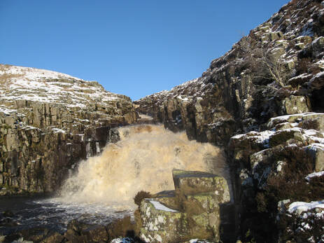
Walk 6 - Cow Green & Cauldron Snout
Distance - 7.5 miles
Difficulty - More challenging / 3
Summary - A chance to see this most spectacular waterfall from the bottom to the top. A stroll through riverside meadows soon becomes a narrow path below the dramatic Falcon Clints to the bottom of the waterfall. From here the climb up alongside the falls requires care but the views are worth the effort is followed by a relaxing walk through the Nature Reserve along the verge with wide reaching views the whole way.

|
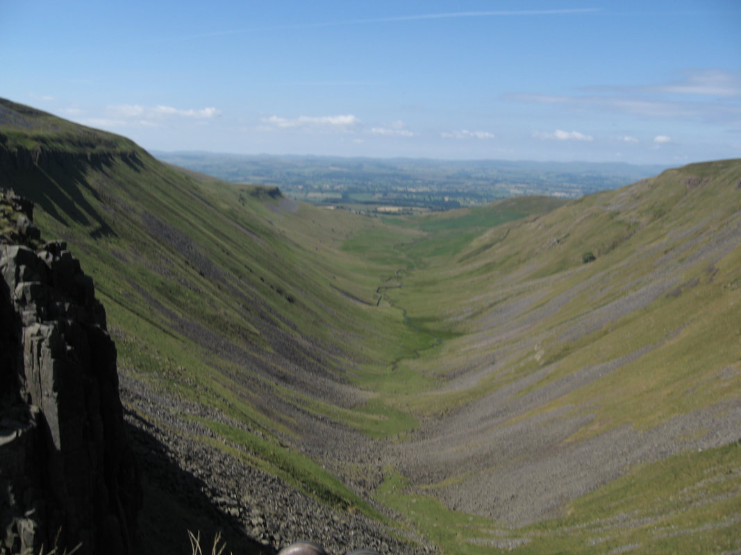
Walk 7 - Cow Green to High Cup Nick
Distance - 13 miles Difficulty - More challenging / 3 Summary - Surely one of the most impressive and beautiful sights in English scenery, the view of High Cup Nick is the highlight of this walk. However Maize Beck has its own beauty and there is also the rugged splendour of the rough moorland route to enjoy. Whilst the distance may suggest a more demanding rating than 3, the route is generally easy to follow and relatively undemanding in other respects. |
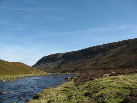
Walk 8 - Cronkley Fell
Distance - 6.9 miles
Difficulty - More challenging / 3
Summary : The beautiful Cronkley Scar stands from the River tees on the foreground and against the backdrop of Meldon Hill and Mickle Fell. A short climb alongside White Force brings you up to open moorland with views as far as the Cross Fell range, before the path drops back down to the River Tees. The return route follows the river through open pasture.
|
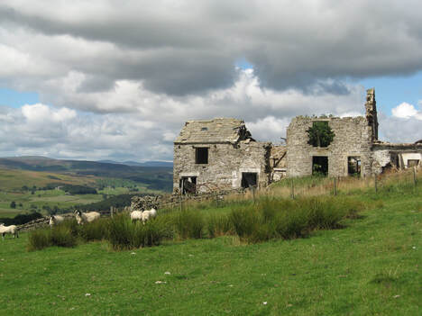
Walk 9 - Great Stony Hill & Harwood
Distance - 6.1 miles Difficulty - More challenging / 3 Summary - a walk combining the rough moorland and a series of ponds with the beautiful valley of Harwood Beck and its remains of a very different recent past. A short extension to the Trig Point of Great Stony Hill along the track add good views of Burnhope and Weardale to your walk. |
 Follow us on Facebook! Follow us on Facebook!
|
